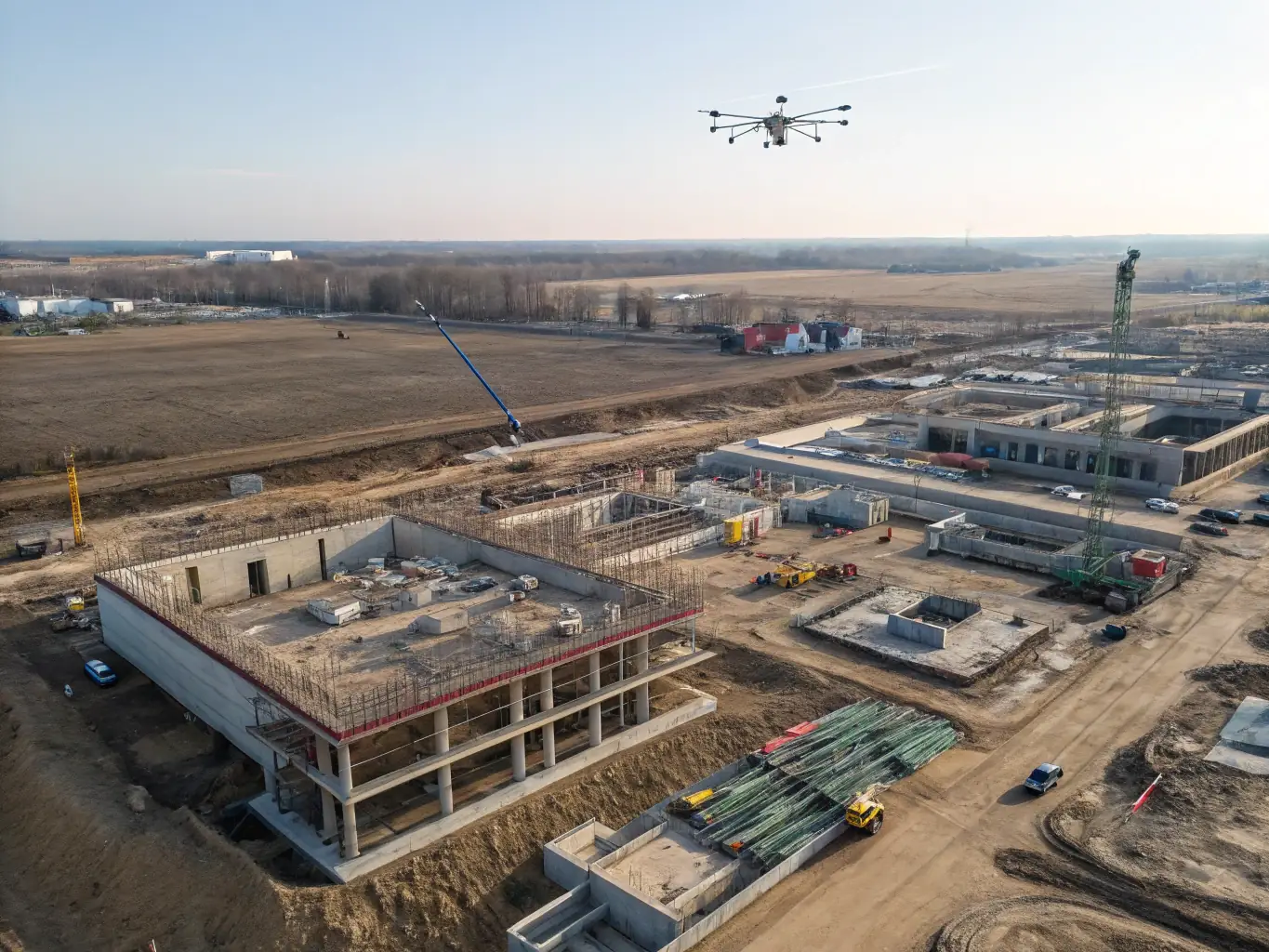
Aerial Lidar Scanning
Capture large-scale infrastructure and urban planning projects with our aerial lidar scanning services. We use advanced drone and aircraft-mounted lidar systems to deliver comprehensive spatial data efficiently.

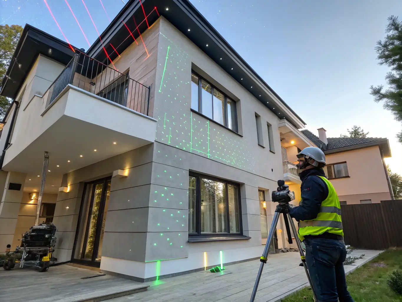
Terrestrial Lidar Scanning
Obtain detailed 3D models of existing structures and infrastructure with our terrestrial lidar scanning services. Perfect for building renovation, heritage preservation, and detailed site analysis.

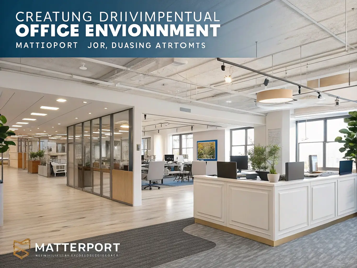
Indoor Lidar Scanning
Get detailed interior 3D models for architectural planning, facility management, and renovation projects with our indoor lidar scanning services. We deliver accurate spatial data of complex indoor environments.